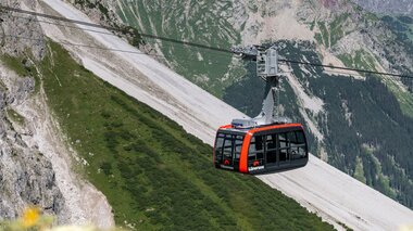
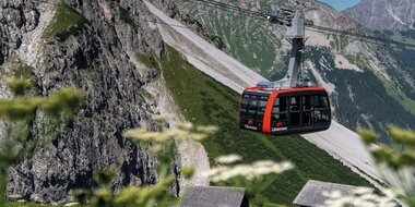
Diverse hiking area at the Lünersee
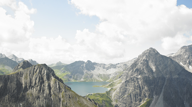
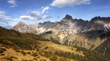
Whether you opt for a relaxing walk around the Lünersee or a challenging summit tour, the hiking region in the Rätikon offers hikers and climbers great variety.
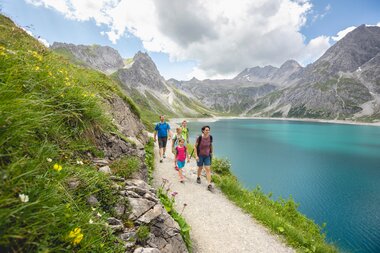
Loop-path hike from the Lünersee
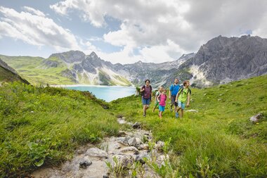
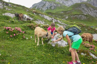
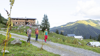
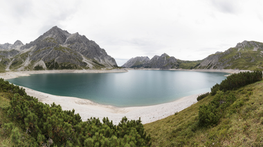
The walk around the Lünersee is the ideal hike for families. Lasting between one and a half and two hours, the easy loop trail is suitable for children of almost all ages.
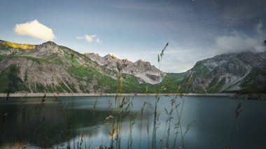
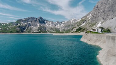
The trail spanning six kilometres travels along the picturesque bank of the Lünersee and offers breath-taking scenery. The strongest ascent and descent of the loop hike is located to the left of the dam. Once this part has been completed, the remaining part of the tour will be almost at ground level.
Given the ascent to the left side, the tour is not suitable for prams. Alternatively, you can start your hike from the right side and then turn back at the Lünersee Alpine pasture.
Schesaplana - the queen of the Rätikon
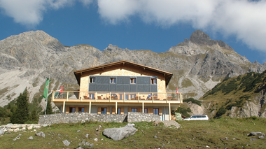
From the Lünersee summit station, you walk along the lake towards the west, then right up to the Totalphütte, past the small Totalp lake and the customs post Schesaplana on the Schesaplana bridge. From here, it is only 55 m to the 2,965-metre-high Schesaplana summit.
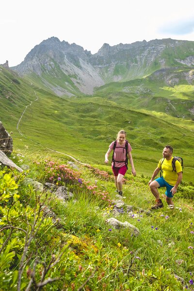
There you can enjoy the divine 360° mountain panorama - and inevitably cross the border. You can then return by the same route.
- Distance: 10.4 km
- Walking time: approx. 5 hours from the Lünersee summit station
- Difficulty: difficult
- Dining and refreshment options: Douglass Hütte, Totalphütte
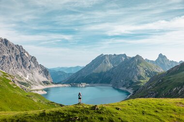
Gafalljoch viewing point
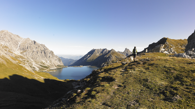
From the summit station, the hiking trail heads towards the Lünersee loop trail. At the Lünersee Alpine pasture you turn towards Switzerland and walk for approx. 30 minutes to Gafalljoch, which is clearly visible from a good distance. Once you have reached it, you have a divine view of Switzerland and the Lünersee.
- Distance: 8.7 km
- Walking time: approx. 3 hours
- Degree of difficulty: medium
- Dining and refreshment options: Douglass Hütte, Alpe Lünersee
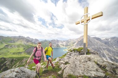
Schafgafall
The hike starts at the mountain station towards Lünerkrinne. Shortly after the Lünersee Rundweg/ Lünerkrinne fork, turn left and follow the easily recognizable path. The way back can be the same way, or alternatively you can choose the other side of the Lünersee.
- Distance: 2.5 km
- Walking time: approx. 1.5 hours
- Degree of difficulty: medium
- Dining and refreshment options: Douglass Hütte, Alpe Lünersee
Hikemap Lünersee
Lünersee is the starting and finishing point of numerous hiking tours. You can find some popular options here on our hiking map or in the detailed overview below. Have fun discovering your hikes in the mountains.
For you
Useful information at a glance


