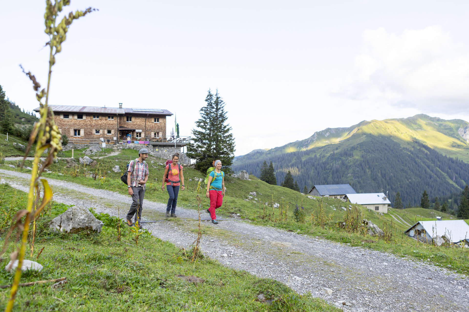
Hut route Lünersee​-​Rätikon "easy" ​-​ Heinrich Hueter Hut to Totalphütte

Moderate
Einkehrmöglichkeit
Mehrtagestour
Mountaineering · Refreshment stops · Multi-day tour
03:40 h duration
7,70 km Length in km
2384 m Highest point
1749 m Lowest point
856 m gain Ascent
238 m gain Descent
Stamina
Difficulty
Adventure
Scenery

Tour description

A varied high mountain route in the Rätikon. With a breathtaking view, it goes through the Lünerkrinne to the Lünersee and along the shore of the lake to the Totalphütte at the foot of the Schesaplana.

Approach

This section is also accessible from Brandnertal by the Lünerseebahn cable car.

Public transport

This section is also accessible from Brandnertal by the Lünerseebahn cable car.

Parking

There are numerous parking options at the Lünerseebahn cable car.

Directions

Through the Lünerkrinne and past the Lünersee, it goes to the foot of the Schesaplana, the highest mountain in the Rätikon. Here is the Totalphütte.

Equipment

Good, ankle-high hiking boots with a good profile, sufficient food and drinks to take along, hiking poles recommended.

Tips

Important: For this route, you should plan your personal daily stages and book the overnight stays at the huts in advance!

Destination

Totalphütte

Starting Point

Heinrich Hueter Hut

Sicherheitstipps für Wandern in Vorarlberg

EN NOTRUF:

EN 140 - Alpine Notfälle österreichweit 

EN 144 - Alpine Notfälle Vorarlberg 

EN 112 - Euro-Notruf (funktioniert mit jedem Handy/Netz) 

Properties
Route type Mountaineering, Refreshment stops, Multi-day tour
Difficulty Moderate
Elevation profile
Best months
Jan
Feb
Mar
Apr
May
Jun
Jul
Aug
Sep
Oct
Nov
Dec