Lünersee​-​Rätikon hut route "easy"

Easy
Einkehrmöglichkeit
Familienfreundlich
Mehrtagestour
Long-distance hiking trail · Hiking · Refreshment stops · Multi-day tour · Family-friendly
12:25 h duration
32,2 km Länge
2383 m Höchster Punkt
993 m Tiefster Punkt
1344 hm Aufstieg
2245 hm Abstieg
Kondition
Schwierigkeit
Erlebnis
Landschaft

Tourbeschreibung

This scenic Montafon hut hike through the varied Rätikon takes you past the steep limestone mountains of the Rätikon.

Description

A route for mountain lovers who appreciate the natural beauty of the mountains as well as refined regional cuisine. The hiking trails lead through the varied Rätikon. The limestone rock of the Rätikon in contrast to the blooming alpine meadows on the steep walls of the impressive peaks Sulzfluh, Drei Türme and Drusenfluh shape the character of this hut hike.

Approach

Coming from Bludenz on the B188, you have to turn off at the intersection on the main road before Schruns towards Tschagguns and continue to Latschau.

Public transport

Just leave your car behind

The Montafonerbahn regional buses operate throughout the Montafon. The main lines run hourly from Schruns station.

From Schruns station you reach the Golmerbahn in Latschau by bus line 601. The stop is: "Golmerbahn".

For the return journey

With bus line 601 you can get back from Latschau to Schruns station.

mbs bus timetables

Arrival by train

From Bludenz station, the Montafonerbahn runs hourly (sometimes half-hourly). There are also direct connections from Lindau (D) or Bregenz.

mbs train timetable

Parking
Directions

Stage 1: Golmerbahn mountain station to Heinrich Hueter Hut

Starting from the Golmerbahn mountain station, follow the signpost towards Platzisalpe, continue through the shadow forest and past the Alpine guesthouse Rellstal until you arrive at the Heinrich Hueter Hut after a further ascent.

Walking time approx. 3:15 hrs // approx. 7.8 km // ascent 385 m, descent 520 m

Stage 2: Heinrich Hueter Hut to Totalp Hut

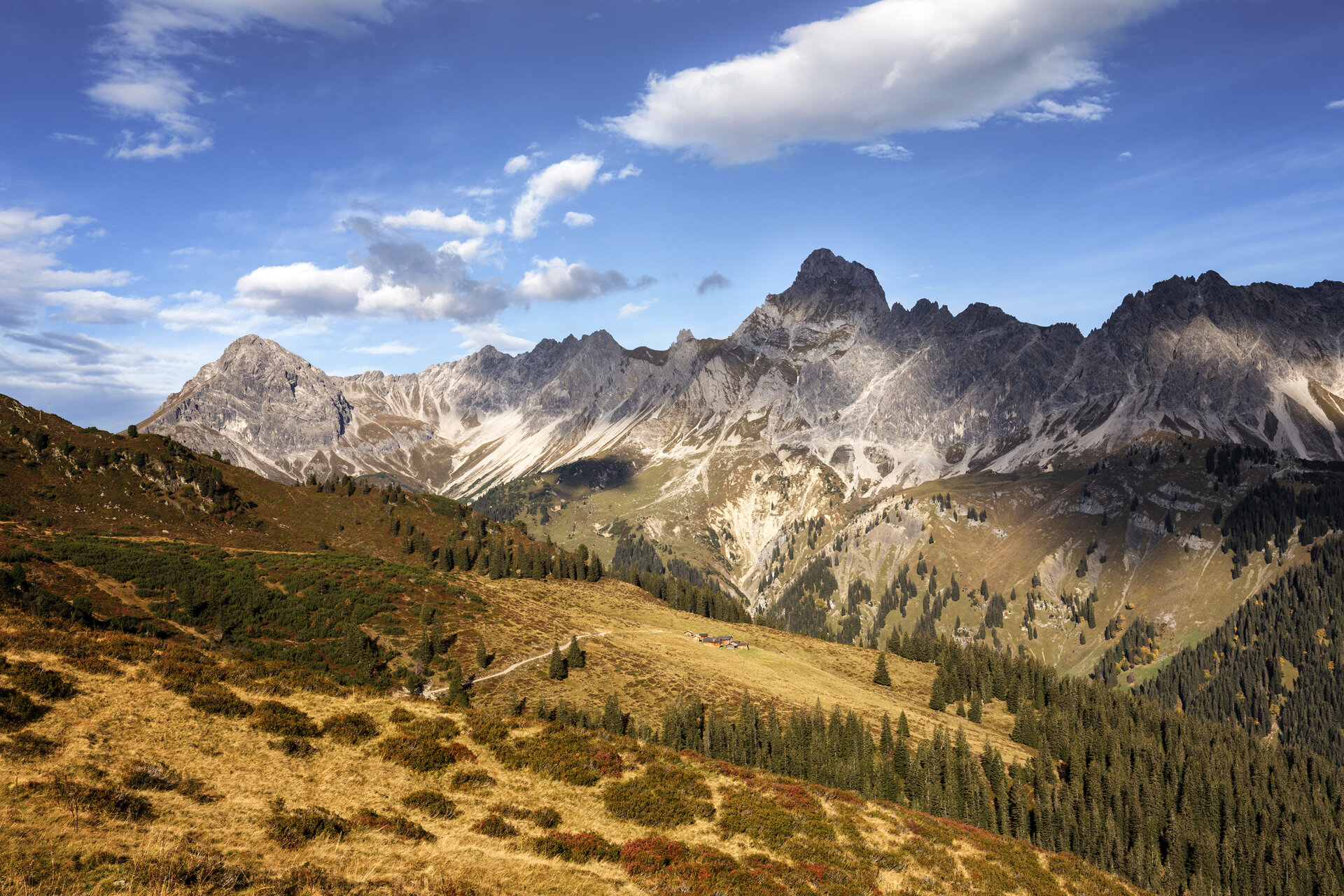
Through the Lünerkrinne and past the Lünersee, it goes to the foot of the Schesaplana, the highest mountain in the Rätikon. Here you will find the Totalp Hut.

Walking time approx. 3:50 hrs // approx. 7.6 km // ascent 855 m, descent 241 m

Stage 3: Totalp Hut to Lindau Hut

From the Totalp Hut, continue above the Lünersee and past the Lünersee-Alpe to Vera Joch. From here you already have the first view of the impressive Swiss Gate before it goes over the Öfapass to the Lindau Hut.

Walking time approx. 4:45 hrs // approx. 10.6 km // ascent 501 m, descent 1,139 m

Stage 4: Lindau Hut to Latschau

From the Lindau Hut follow the signpost downhill to Latschau.

Walking time approx. 2:15 hrs // approx. 6.2 km // ascent 0 m, descent 752 m

Golmerbahn mountain station - Platzisalpe - Rellstal - Heinrich Hueter Hut - Lünerkrinne - Lünersee - Douglass Hut - Lünersee-Alpe - Verajoch - Swiss Gate - Öfapass - Lindau Hut - Lower Spora Alpe - Gauertalhaus - Latschau

Safety instructions

EMERGENCY CALL: 144

European emergency call: 112 (works with any mobile phone/network)

www.vorarlberg.travel/sicherheitstipps

Equipment

Bring good, ankle-high hiking boots with a good grip, enough food and drinks; hiking poles recommended

Tips

Due to high demand at the huts, you should plan your route in advance and book overnight stays at the huts early.

Destination

Latschau

Starting Point

Golmerbahn mountain station

Eigenschaften
Routentyp Long-distance hiking trail, Hiking, Refreshment stops, Multi-day tour, Family-friendly
Schwierigkeit Easy
Höhenprofil
Beste Jahreszeit
Jan
Feb
Mär
Apr
Mai
Jun
Jul
Aug
Sep
Okt
Nov
Dez