Lünersee​-​Rätikon hut route "Medium"

Moderate
Einkehrmöglichkeit
Mehrtagestour
Long-distance hiking trail · Hiking · Refreshment stops · Multi-day tour
11:45 h duration
32,2 km Länge
2382 m Höchster Punkt
993 m Tiefster Punkt
1696 hm Aufstieg
2606 hm Abstieg
Kondition
Schwierigkeit
Erlebnis
Landschaft

Tourbeschreibung

This panoramic Montafon hut hike through the diverse Rätikon takes you past the steep limestone mountains of the Rätikon.

Description

A route for mountain enthusiasts who appreciate the natural beauty of the mountains as well as refined, regional cuisine. The hiking trails lead through the diverse Rätikon. The limestone rock of the Rätikon in contrast to the blooming alpine meadows on the steep walls of the impressive peaks Sulzfluh, Drei Türme and Drusenfluh characterizes this hut hike.

Approach

Coming from Bludenz on the B188, you need to turn off at the intersection on the main road before Schruns towards Tschagguns and drive on to Latschau.

Public transport

Just leave your car standing

The Montafonerbahn’s regional buses run throughout the Montafon area. The main lines run hourly from Schruns station.

From Schruns station you can take bus line 601 to the Golmerbahn in Latschau. The stop is: "Golmerbahn".

For the return journey

Bus line 601 takes you from Latschau back to Schruns station.

mbs Bus timetables

Travel by train

From Bludenz station the Montafonerbahn runs hourly (partly every half hour). There are also direct connections from Lindau (D) and from Bregenz.

mbs train timetable

Parking
Directions

Stage 1: Golmerbahn mountain station to Heinrich Hueter Hut

(same route as stage 1 of the Lünersee/Rätikon "Easy" hut route)

Starting from the Golmerbahn mountain station, follow the signpost towards Platzisalpe, continue through the shaded forest and past the Rellstal mountain inn until after another ascent you arrive at the Heinrich Hueter Hut.

Walking time approx. 3:15 hrs // approx. 7.8 km // ascent 385 m, descent 520 m

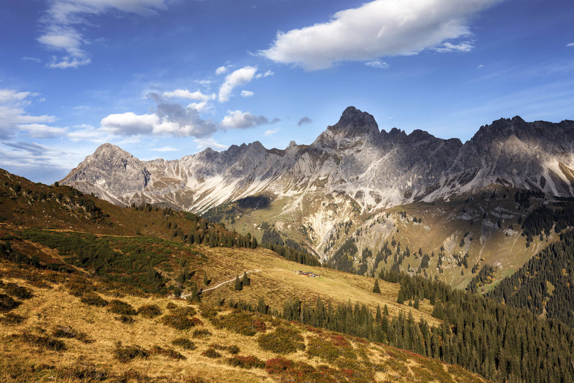
Stage 2: Heinrich Hueter Hut to Totalp Hut

Through the Lünerkrinne and past the Lünersee, it goes to the foot of the Schesaplana, the highest mountain in the Rätikon. The Totalp Hut is located here.

Walking time approx. 3:50 hrs // approx. 7.6 km // ascent 855 m, descent 241 m

Stage 3: Totalp Hut to Lindauer Hut

From the Totalp Hut, it goes above the Lünersee and past the Lünersee-Alpe further to Vera Joch. From here you already have the first view of the impressive Swiss Gate before it goes over the Öfapass to the Lindauer Hut.

Walking time approx. 4:45 hrs // approx. 10.6 km // ascent 501 m, descent 1,139 m

Stage 4: Lindauer Hut to Latschau

(same route as stage 4 of the Lünersee/Rätikon "Easy" hut route)

From the Lindauer Hut, walk with the Drei Türme behind you past the lower Sporaalpe as well as the Gauertalhaus, which is ideal for a short break before you arrive back at the car.

Walking time approx. 2:15 hrs // approx. 6.2 km // ascent 0 m, descent 752 m

Safety instructions

EMERGENCY CALL: 144

European emergency call: 112 (works with any mobile phone/network)

www.vorarlberg.travel/sicherheitstipps

Equipment

Good, ankle-high hiking boots with good grip, sufficient provisions and drinks to take along, hiking poles recommended

Tips

Due to high demand in the huts, you should plan your route in advance and book overnight stays in the huts early.

Destination

Latschau

Starting Point

Golmerbahn mountain station

Eigenschaften
Routentyp Long-distance hiking trail, Hiking, Refreshment stops, Multi-day tour
Schwierigkeit Moderate
Höhenprofil
Beste Jahreszeit
Jan
Feb
Mär
Apr
Mai
Jun
Jul
Aug
Sep
Okt
Nov
Dez